
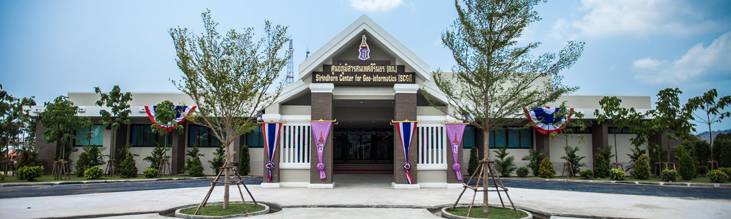
Sirindhorn Center for Geo-Informatics
Sirindhorn Center for Geo-Informatics (SCGI) is established under the cooperation between the Ministry of Science and Technology of Thailand by Geo-Informatics and Space Technology Development Agency (Public Organization) : GISTDA, and Wuhan University by State Key Laboratory of Information Engineering Surveying, Mapping and Remote Sensing : LIESMARS, the People’s Republic of China.
Objective
The SCGI serves as the international institute for research and knowledge/technology transfer in space technology and geo-informatics.
Mission
- To be an international center of technology transfer, research, including an incubator for space technology and geo-informatics
- Enhancing the human capacity building and awareness raising in space technology and geo-informatics through training courses, workshops, special lectures, and seminars
- Promoting and supporting collaborative research projects, exchange of personnel, innovative applications
Benefits
- The country is serving as the international center on research and technology transfer in space technology and geo-informatics.
- SCGI will increase personnel capacity in the area of space technology and geo-informatics and raise awareness for all levels; public sectors, educational institutes, and private sectors.
- The outputs/outcomes from various research projects, development, and innovation can enhance our country development.
- SCGI will serve as a focal point and expand the network of academic knowledge and research collaboration with sharing research experiences and knowledge development.
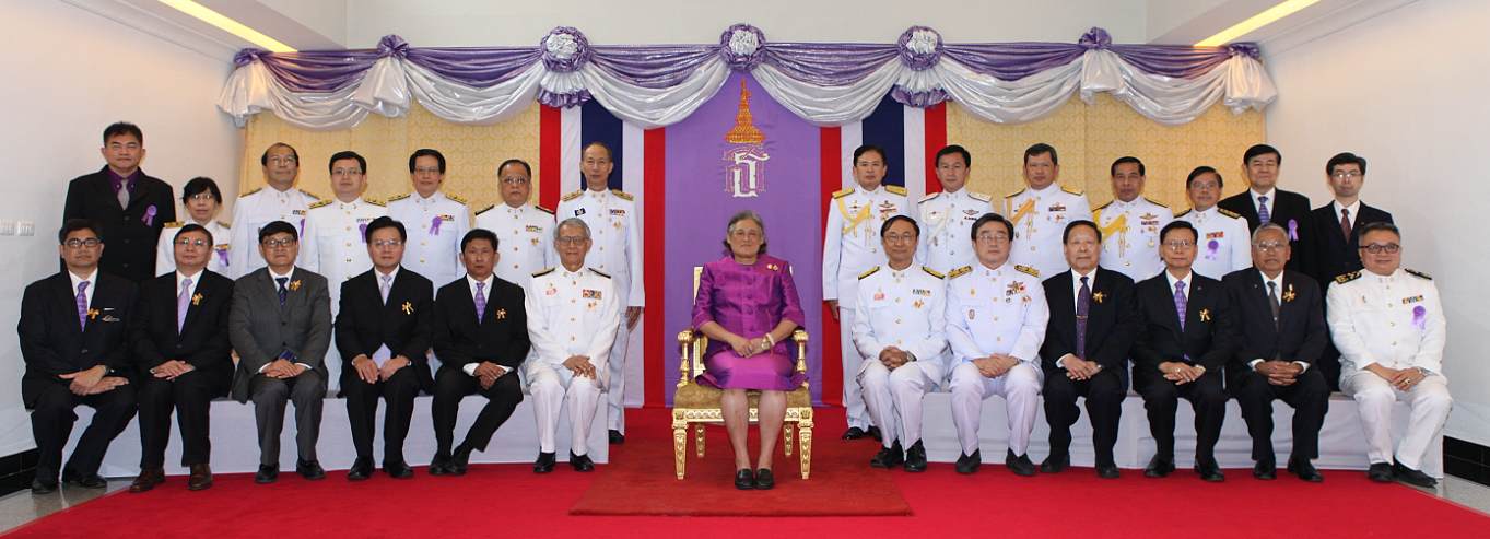
Steering Committee
- Her royal highness princess maha chakri sirindhorn
- Dr.Weerapong Pairsuwan, Permanent Secretary of Ministry of Science and Technology
- Dr.Somchet Thinaphong, Chairman Board of Director of GISTDA
- Dr.Thaweesak Koanantakool, President of the National Science and Technology Development Agency (NSTDA)
- Dr.Anond Snidvongs, Executive Director of GISTDA
- Prof. Li Xiaohong, President of Wuhan University
- Prof. Li Deren, Professor of Wuhan University and an expert in photogrammetry and remote sensing
- Prof. Dr. Gong Jianya, Director of Wuhan University’s State Key Lab of Information Sciences in Surveying, Mapping and Remote Sensing
- Vice President of International relations of Wuhan University
Scientific Advisory Committee
- Professor Li Deren, Wuhan University, The People Republic of China
- Professor SUN Chih-Hong, National Taiwan University, Taiwan
- Professor Anthony YEH, The University of Hong Kong, Hong Kong SAR
- Professor Armin Gruen, Chair of Information Architecture, ETH Zurich, Switzerland
- Professor SHIBASAKI Ryosuke, University of Tokyo, Japan
- Professor Chalermchon Satirapod, Chulalongkorn University, Thailand
- Professor Guo Huadong, Director, Institute of Remote Sensing and Digital Earth, China Academy of Science, The People Republic of China
- Dr.Anond Snidvongs, Director of SCGI Sriracha
- Prof. Dr. Gong Jianya, Director of SCGI Wuhan