
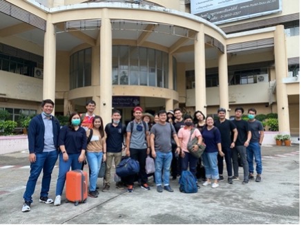
Between 22 and 24 March 2021, a fieldtrip, cooperated by Burapha University and Sirindhorn Center for Geo-Informatics (SCGI) Master Program, was held to deliver knowledge transfer and practices in applying Unmanned Aerial Vehicle (UAV) for surveying spatial areas of high valuing economic plants, approaching Precision Farming with GI technology including of Multi-Spectral sensors in GNSS system, and Street View camera. There were 13 participants including of Dr. Kritsanai Charoenchit, 8 SCGI Master Program students – 3rd batch as well as students and personnel from Geo-Informatics Curriculum, Burapha University.
This field trip was aimed as following objectives;
1) to create a prototype, Intelligence Farming Model, for leveraging to be a digital tourist center in order to facilitate visitors by illustrating a street view at Suphattra Park;
2) to develop a NDVI Map, derived from Remote Sensing tools, for monitoring crop health in order to support decision making of farmers in farming management and productivities;
3) to transfer knowledge of Geo-Informatics and Remote Sensing Technology towards farmers for delivering know-how in GI-Intelligence technology application which supports cost reduction of plantation; and
4) to enhance students’ capacity and knowledge development as well as foster application GI Intelligence in agricultural industry.